What is the SmartSea project?
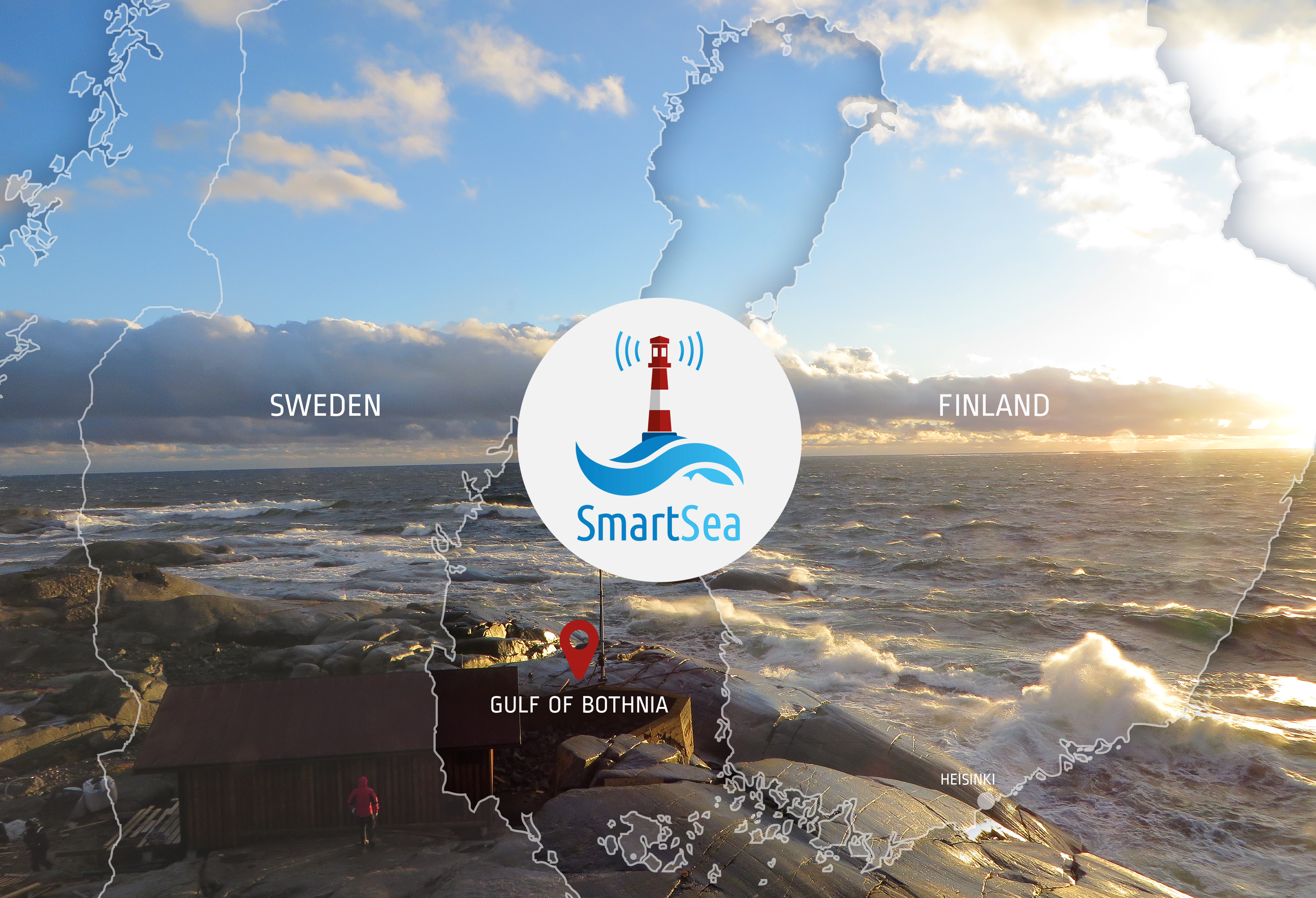
The SmartSea project will create new potential for development and growth of the Gulf of Bothnia region by providing high quality data and efficient tools for marine spatial planning.
Marine Spatial Planning for the Gulf of Bothnia
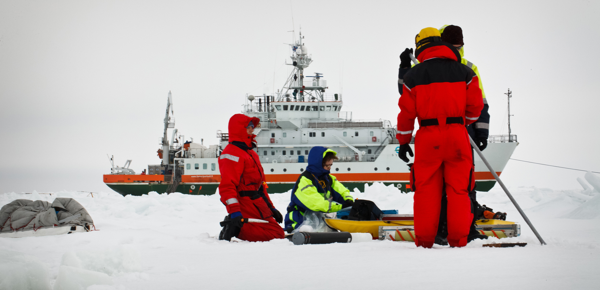
SmartSea project is focused on the Gulf of Bothnia as its active maritime sector ensures vast potential for Blue Growth. In addition, it is still relatively untouched compared to the other Baltic Sea areas. Furthermore, climate change will most probably have the most drastic effects in this area.
In SmartSea, the integrated value of nature will be assessed and in order to be effective, discussed with the different stakeholders. In the future, this helps planners to do decisions that are accepted by the society.
SmartSea project will bring zoned area thinking, Marine Spatial Planning, into marine areas as a tool to ensure efficient resource utilization. This is achieved by tight interactions between scientists and people applying the information, as SmartSea aims to provide accurate information of the application possibilities of marine areas for the decision-makers.
Objectives and expected results
SmartSea’s objectives and expected results include
- Estimate the impacts of human activity changes on Gulf of Bothnia’s state
- Identify key locations of natural resources and ecosystem functioning in the Gulf of Bothnia
- New innovations studied for efficient Blue Growth, including sustainable fish farming for enabling recycling of the nutrients and reduce the impact of climate change significantly.
- Estimate of the prospects and possible harmful effects of the seabed sand/gravel and mineral extraction to underwater nature of the Gulf of Bothnia, in order to assess whether seabed extraction could provide a more sustainable way of mineral resource extraction than terrestrial methods.
- Accounting for climate change through the modeling approach to provide long-lasting guidelines for design requirements for offshore structures, economic optimization of food resources and aquaculture.
- Development of the multiplatform concept, which enables the combination of different offshore infrastructures in feasible and sustainable way.
- Provide open source Marine Spatial Plan toolbox with open access data for commercial and non-commercial applications
- Identify obstacles of sustainable transition
- Create a strategy for the Gulf of Bothnia as resource for sustainable growth
As the realistic applications of the marine areas will change in the coming decades, the emphasis is put on operations concerning 10-20 years in the future, but projections as far as 50 years in the future are included.
New risk analysis tools and data sets that will be developed to assist maritime spatial planning offer an opportunity to assign value judgments that combine optimally all the different sectors.
The methods used will ensure long-term use, and easy and straightforward development of the tools for any public or commercial actor. Tools and results obtained and developed in SmartSea will be made available and easily accessible for all stakeholders.
Articles
Pohjanlahti merituulienergian tuotantoalueena
Konteksti Merituulienergian laajamittainen rakentaminen on keskeinen askel Suomen tavoitetta hiilivapaaksi yhteiskunnaksi. Suomen merialueista erityisesti Pohjanlahti tarjoaa hyvät olosuhteet energian tuotannolle,
Scientific Articles published in SmartSea
One of the products of the SmartSea are the various scientific articles published by our partners during the project. The
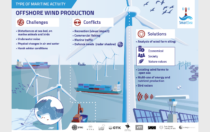
SmartSea Infographics
Offshore wind production, Aquaculture, Fisheries, Blue Well being, recreation and tourism have been key areas of the SmartSea project. We
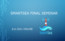
SmartSea Final Seminar/Loppuseminaari 8.6.2021
SmartSea will hold a Final Seminar on the results of the project, and a discussion with stakeholders and affiliates on